
Middlesex County ZIP Code Coverage
USPS is the authority for an address and its delivery ZIP. The documented Middlesex County inventory has 111 codes, including standard, unique, and PO Box codes. The grouped table below is a working orientation to the county's postal geography, not a claim that every listed code is a residential delivery ZIP. Postal places can cross municipal or county lines, and a ZIP name can differ from the local town name used by an assessor or deed registry.
| ZIP | Areas Covered | Post Office | Notes |
|---|---|---|---|
| 01431, 01432, 01450, 01460, 01463, 01464, 01469, 01474 | Ashby, Ayer, Groton, Littleton, Pepperell, Shirley, Townsend, and West Townsend | Named postal places | 01434 Devens is a special postal place; 01470 and 01471 are Groton unique or special codes; 01472 is West Groton PO Box. |
| 01701-01778 documented Middlesex entries | Framingham, Acton, Boxborough, Ashland, Bedford, Carlisle, Concord, Holliston, Hopkinton, Hudson, Marlborough, Maynard, Natick, Sherborn, Lincoln, Stow, Sudbury, and Wayland | Named postal places | Framingham includes PO Box codes 01703, 01704, and 01705. Hanscom AFB 01731 is a special installation; Woodville 01784 is PO Box. |
| 01801-01890 documented Middlesex entries | Woburn, Burlington, Billerica, Chelmsford, Dracut, Dunstable, Lowell, Reading, Tewksbury, Tyngsboro, Wakefield, Westford, Wilmington, and Winchester | Named postal places | Lowell has 01850, 01851, 01852, and 01854 standard codes plus 01853 PO Box. Several Woburn, Burlington, and North Reading entries are unique or PO Box codes. |
| 02138-02180 documented Middlesex entries | Cambridge, Somerville, Malden, Everett, Medford, Melrose, and Stoneham | Named postal places | Cambridge uses 02138 through 02142 postal sectors. Somerville uses 02143 through 02145. 02238 Cambridge and 02156 West Medford are PO Box entries. |
| 02420-02495 documented Middlesex entries | Lexington, Waltham, Newton postal neighborhoods, Watertown, Arlington, Belmont, and Weston | Named postal places | Newton Center, Newtonville, Newton Highlands, West Newton, Auburndale, and Waban are postal names. Chestnut Hill 02467 can cross a municipal boundary. |
The groups retain the differences that affect routing. Cambridge ZIP sectors are not city neighborhoods. Newton's postal-place names should not replace the municipality in a property search. PO Box and unique codes must be checked against an individual address before they are used for any record search.
Middlesex County ZIP Checks
The USPS ZIP Code Lookup has three useful modes: enter an address for the exact ZIP, enter city and state for the ZIPs associated with that place, or enter a ZIP to see its associated cities. Use the address mode when the question is about one door. Use the other modes to check whether a familiar postal label has more than one possible code. USPS should be the final verification before copying a ZIP into a local request or parcel note.
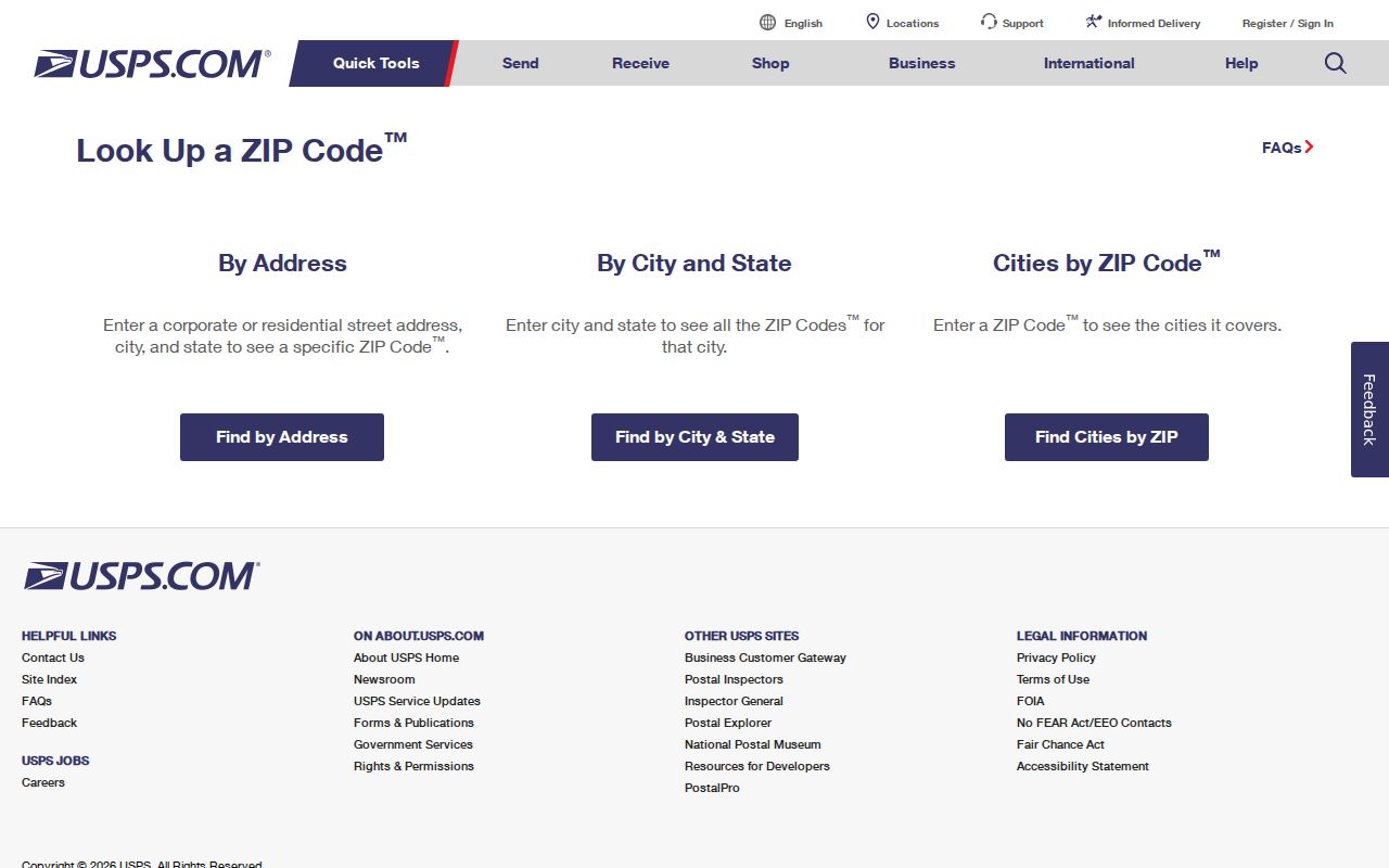
The three modes are different tasks. A city-and-state result is not proof that every listed ZIP serves a particular street, while a ZIP-to-city result does not settle the correct municipality for an assessor, election office, or Registry search.
Note: Keep the USPS ZIP, the municipality, and the site address as separate fields because a matching postal place is not a jurisdiction finding.
Middlesex County ZIP and ZCTAs
Census ZCTAs are generalized statistical areas created for data use. They are not USPS delivery-route boundaries. That distinction matters when a researcher uses demographic data, compares a ZIP-shaped area, or sees a Census result that does not align with a mailing address. Label Census figures as ZCTA data and return to USPS for an actual address-to-ZIP decision.
The Census guidance on ZIP-related data explains this statistical use. In Middlesex County, the difference is especially visible where Cambridge has several postal sectors, Newton has postal neighborhood names, and codes may extend into another municipal or county geography.
A ZCTA can support a broad statistical comparison. It cannot replace a parcel, a municipal address, or the USPS lookup for a specific record trail.
Find Middlesex County Records by ZIP
A ZIP can narrow an address task, but most local records are keyed to municipality, parcel, and deed description. Start by verifying the ZIP, then use it to route the request rather than expecting a ZIP-wide resident roster. The statewide Property Information Finder is city, street, and address-number based. The MassGIS map can show parcel ZIP fields in results and filter parcels in the visible map extent. The voter-status form uses ZIP as an identity field for one person, not as a browse filter.
- Verify the exact address and ZIP with USPS, including the unit when it affects delivery.
- Identify the city or town that holds the assessment record, even when the postal place uses another name.
- Search the municipal assessor or MassGIS by address and retain the site ZIP, owner mailing ZIP, parcel identifier, and fiscal year as separate fields.
- Use the owner's last-sale reference or party name in the correct North or South Registry district when recorded land matters.
- When the ZIP has narrowed to a street, use the Middlesex County street directory workflow for parcel-by-parcel work.
This sequence prevents a postal code from becoming a stand-in for a town. It also prevents an owner mailing ZIP from being mistaken for the ZIP of the parcel itself.
Middlesex County ZIP Parcel Fields
The statewide parcel schema can return both the parcel ZIP and the owner mailing ZIP. That makes it useful for understanding an individual parcel, while also showing why ZIP is not enough to identify a current occupant. The accessible Property Information Finder does not provide a ZIP-wide owner search. Select the municipality, street, and number first, then inspect the returned site and mailing fields.
| ZIP-capable field or tool | Where it appears | What it does | Important limit |
|---|---|---|---|
| Parcel ZIP | MassGIS standardized parcel result | Shows postal geography for the site | A postal code is not a municipal boundary. |
| Owner mailing ZIP | MassGIS standardized parcel result | Shows where the tax bill is sent | It is not proof of residence at the parcel. |
| City, street, address number | Property Information Finder | Routes an accessible parcel lookup | All three are required in the accessible finder; no owner-name mode is provided. |
| Residential ZIP | Massachusetts voter status form | Acts as a required identity field for an individual check | It does not return a ZIP roster. |
| Five-digit ZIP or ZCTA | Census data geography | Filters statistical data | It is a generalized ZCTA, not a delivery-route decision. |
The MassGIS property-tax parcel information is illustrated below. Municipal updates are submitted and published in batches, and the popup's fiscal year can differ by town. Check the municipal assessor for the current local tax year or correction.
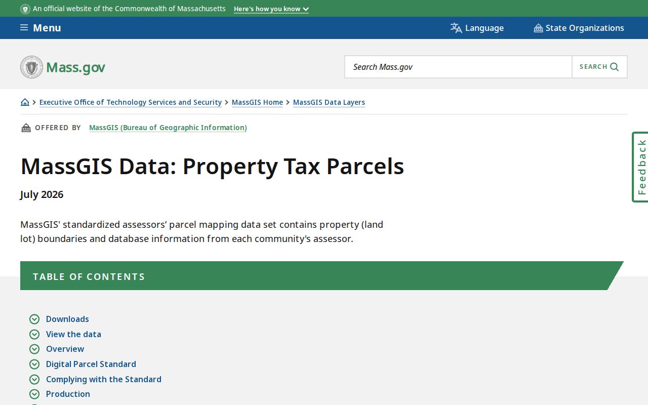
Site ZIP and owner ZIP are separate attributes because the parcel location and tax-bill destination can be different. Preserve both without treating either as a complete resident record.
Note: The MassGIS fiscal-year label is part of the result, so record it before comparing parcel details from two Middlesex municipalities.
Middlesex County ZIP Postal Groups
The number families are useful for orientation, not for deciding who holds a record. The 014 group reaches northern communities such as Ashby, Ayer, Groton, Littleton, Pepperell, Shirley, and Townsend. The 017 group includes suburban and MetroWest places from Acton and Framingham through Sudbury and Wayland. The 018 group contains Lowell and Merrimack Valley postal places, including several Lowell standard codes and a PO Box code.
The inner portion of Middlesex County uses 021 sectors for Cambridge, Somerville, and nearby communities, plus 024 codes for Lexington, Waltham, Newton postal neighborhoods, Watertown, Arlington, Belmont, and Weston. A postal group helps organize a search log. It does not prove that two addresses share a municipality, Registry district, school district, or assessor.
Middlesex County ZIP Boundary Myth
A ZIP boundary is not a city line. Cambridge has multiple postal sectors, while Newton has named postal neighborhoods such as Newton Center, Newtonville, Newton Highlands, Waban, Auburndale, and West Newton. Waltham, Arlington, Watertown, and Belmont can also use postal place names that differ from a user's everyday town label. Chestnut Hill 02467 can cross a municipal boundary.
PO Box and unique ZIPs require even more care. They are not ordinary residential territory, and they should never be used to infer a parcel. The documented inventory includes special or unique entries at Groton, Burlington, Woburn, North Reading, Cambridge, and Watertown. Ask USPS about an individual address, then route property, election, and deed questions to the actual municipality.
Middlesex County ZIP Terms
These postal terms explain why a ZIP match is useful but limited in Middlesex County record research.
- ZIP
- A USPS routing code associated with an address or postal place. It is not a municipal boundary.
- ZIP+4
- An added four-digit delivery detail used after the five-digit ZIP for a more precise mailing route.
- PO Box ZIP
- A code associated with post-office boxes rather than a standard delivery area, so it should not be used to infer a parcel.
- Unique ZIP
- A code assigned to a particular organization or special postal use. Verify it through USPS for the address at hand.
- Carrier route
- A USPS delivery grouping that is different from a town boundary, parcel boundary, or Census ZCTA.
Note: Record the municipality before making an office request because city-and-state postal labels can conceal a different local records custodian.
Middlesex County ZIP Limits
ZIP information can verify a mailing address and support broad geographic grouping. It cannot establish a municipal line, property ownership, current residence, or a full list of people associated with an area. Municipal boundary data, assessor records, Registry documents, and local election material have distinct purposes and distinct access rules. A nonmatch may reflect a postal label, a unit, a special code, or an address change rather than an absence from every local record.
The county's 54 municipalities and two Registry districts make town-first routing the reliable practice. When an address sits near a boundary or uses a special postal name, retain the address, ZIP, municipality, parcel identifier, and Registry district separately. USPS verifies delivery, while local records offices answer the questions tied to their own jurisdiction.
Lawful use. Use address and postal information only for personal, lawful research. Never use it to stalk, harass, threaten, or harm another person.